Historical News
Fixed Site Network
Nutrients Sampling
Among the river stations sampled, highest total nitrogen (TN), total dissolved nitrogen (TDN), and dissolved inorganic nitrogen (DIN) values occurred at the Pawtuxet River at Broad St. site, at 1290 ppb, 1340 ppb, and 1048 ppb, respectively. Lowest TN and TDN values were recorded at Ten Mile River at Roger Williams Ave, with concentrations of 497 ppb and 472 ppb. The Blackstone River at Slater Mill had the lowest recorded DIN concentrations, at 44 ppb.
At the bay surface stations, greatest TN, TDN, and DIN was observed at Pawtuxet Cove (average of duplicate samples: 1065 ppb, 746 ppb, 619 ppb, respectively). Lowest TN values were observed at Phillipsdale Landing, at 453 ppb. Four bay stations had TDN values below detection (<100 ppb) – Conimicut Point, Edgewood Yacht Club, Pomham Rocks, and Bullock Reach Buoy; low DIN values (<20 ppb) were also observed at these sites. Chlorophyll a concentrations averaged 5.2 ug/L and ranged from 1.8 ug/L at Bullock Reach Buoy to 12.3 ug/L at Edgewood Yacht Club.
Bacteria Sampling
The geometric mean of fecal coliform results for all sites was 70 MPN/100 mL; counts were higher at the Seekonk River sites than the Providence River sites (geometric means of 316 and 35 MPN/100 mL, respectively). The maximum count (2,300 MPN/100 mL) was measured at the Point St. Bridge site. Overall, the Providence River results were within state standards for primary contact.
The enterococci results decreased from the previous sampling event on August 7, from 19 MPN/100 mL to 14 MPN/100 mL. Enterococci results ranged from <10 MPN/100 mL at most sites to 86 MPN/100 mL at Point St. Bridge. These results met state standards for primary contact.
Please note: the results of NBC's fecal coliform and enterococci monitoring are for informational/research purposes only and are not intended to suggest official state compliance with bathing or shellfishing standards.
R/V Monitor's Blog
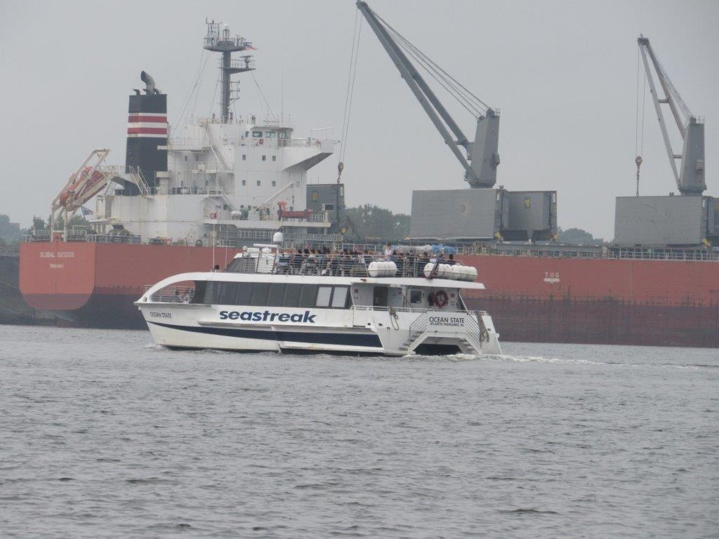
The crew of the R/V Monitor was out on the upper Bay twice this week. First, on Tuesday, August 27th, the crew deployed equipment for the temporary buoy to be installed next week in the Bullock's Reach area. They then conducted 3 profiling transects across the upper Bay using the Seabird instrument. The transects were done at India Point, Pomham Rocks, and Bullock's Reach. Jeff captained the boat while monitoring professionals Mike and Bekki deployed the buoy equipment and conducted the transects. NBC scientist Eliza joined the crew in the afternoon for the transects. It was a calm partly sunny day with a breeze out of the southeast. On Wednesday, August 28th, the crew was out collecting nutrients and plankton samples, taking Secchi Disk and Par sensor water clarity measurements, conducting water column profiles using the Seabird instrument, and conducting real-time surface mapping of water quality parameters, including dissolved oxygen, chlorophyll, water temperature, salinity pH, all in an effor to document water quality improvements associated with NBC construction projects. Jeff captained the boat, while monitoring professionals Sara and Mike collected the samples and data. The day began sunny but became cloudy by late morning. There was no wind and very calm waters. Monitoring was only conducted in the morning due to stormy weather predicted for the afternoon. The Block Island Ferry was observed outbound by the Port of Providence this day.

Water Column Clarity
Water clarity was measured at eight locations in the Providence and Seekonk Rivers on August 15, 2019. Light rain fell two days prior to the survey, totaling 0.13 inches. Average Secchi depth decreased very slightly since the previous week’s survey, from 1.5 m to 1.4 m. Three sites exhibited decreased clarity since the previous survey, with the greatest drop observed at India Point Park (-0.9 m). Three sites exhibited increased clarity, with the greatest increase observed at Pomham Rocks (+0.8 m); the remaining two sites were either unchanged from the previous survey or had not been surveyed for several weeks before, making such comparisons inappropriate. Overall, there was no gradient in water clarity up or down bay. The lowest clarity was measured at India Point Park and at Pawtuxet Cove: 0.8 m. The highest water clarity was observed at Pomham Rocks, at 1.9 m.


