Historical News
R/V Monitor's Blog
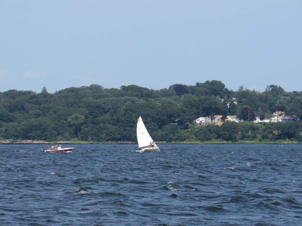
On Wednesday, August 8th, the crew of the R/V Monitor was out on the upper Bay collecting nutrients and plankton samples, taking Secchi Disk and Par sensor water clarity measurements, conducting water column profiles using the Seabird instrument, and conducting real-time surface mapping of water quality parameters, including dissolved oxygen, chlorophyll, water temperature, salinity, and pH, all in an effort to document water quality improvements associated with NBC construction projects. Sara captained the boat while monitoring professional Justin and summer intern Mackenzie collected the samples and data. It was a hot, humid and partly sunny day with a breeze out of the southwest. There was no chop on the water in the morning but one developed by the afternoon. The featured photo was taken at Edgewood Yacht Club.
Water Column Profiles
Water column profiles using a Seabird profiling instrument were scheduled at eight locations in the Providence and Seekonk Rivers on June 23, 2021. Please note that casts from two stations (Edgewood Yacht Club and Pawtuxet Cove) were deemed non-reportable due to deviations from standard field procedures (i.e., no surface soak was conducted). In addition, at Conimicut Point and Pomham Rocks the downcast was started deeper than usual at approximately 4 m, therefore surface data from these stations are not available. Conditions leading up to the survey were relatively wet, with 1.25 inches of rainfall recorded at T.F. Green. Evidence of density stratification was observed at Phillipsdale Landing and India Point Park.
Surface salinities among all sites surveyed ranged from 17.9 psu at Phillipsdale Landing to 23.8 psu at Bullock Reach Buoy. Bottom salinities ranged from 23.5 psu at Phillipsdale Landing to 29.8 psu at Conimicut Point. The highest temperatures were observed at Point Street Bridge, ranging from 21.5°C at the surface to 20.4°C at the bottom. The lowest surface water temperatures (20.0°C) were observed at India Point Park, while the lowest bottom water temperature (17.2°C) was observed at Pomham Rocks.
This week, hypoxic conditions (dissolved oxygen (DO) concentrations <2.9 mg/L) was observed sporadically at India Point Park, Point Street Bridge, and Pomham Rocks. Across all sites, DO ranged from 2.6 mg/L in the bottom waters of Point Street Bridge to 6.8 mg/L at the surface at Bullock Reach Buoy. Highest florescence occurred in the surface waters at Phillipsdale Landing. Please note that due to a quality control issue, numerical fluorescence data are not posted at this time.
Water Column Profiles
Water column profiles were scheduled to be conducted at eight locations on June 16, 2021, but due to equipment malfunction profiles were only conducted in three locations in the Providence and Seekonk Rivers. Conditions leading up to sampling were moderately wet, with 0.64 inches of rainfall recorded at T.F. Green. Evidence of density stratification was observed in the northern most site, Phillipsdale Landing.
Surface salinities among all sites surveyed ranged from 6.5 psu at Phillipsdale Landing to 25.0 psu at India Point Park. Bottom salinities ranged from 26.8 psu at Phillipsdale Landing to 29.5 psu at India Point Park. The highest surface temperatures (21.7°C) were observed at Phillipsdale Landing while the highest bottom water temperatures (16.5°C) were observed at Edgewood Shoals. Overall, lowest water temperatures were observed at India Point Park, with temperatures ranging from 15.0°C at the bottom to 17.9°C at the surface.
Dissolved oxygen (DO) ranged from a minimum of 3.3 mg/L near the bottom of Phillipsdale Landing to 8.0 mg/L at the surface of both Edgewood Shoals and Phillipsdale Landing. Hypoxic conditions (e.g., DO concentrations <2.9 mg/L) were not observed at any of the sites. Highest florescence occurred in the surface waters at Edgewood Shoals. Please note that due a quality control issue, numerical fluorescence data are not posted at this time.
Bacteria Sampling
The geometric mean of fecal coliform results for all sites was 40 MPN/100 mL, compared to a geometric mean of 480 MPN/100 mL the prior sampling event. Seekonk River sites generally had higher counts than Providence River sites (geometric means of 111 and 25 MPN/100 mL, respectively). However, the maximum count (930 MPN/100 mL) was measured at Point St. Bridge in the Providence River. Overall, fecal coliform results from both rivers exceeded state criteria for shellfishing, while fecal coliform results from the Seekonk River exceeded state criteria for primary contact.
Enterococci results also decreased from an overall geometric mean of 66 MPN/100 mL during the previous sampling event to a geometric mean of 17 MPN/100 mL. Results ranged from <10 MPN/100 mL at South FP East and Conimicut Point to 122 MPN/100 mL at Point St. Bridge. The enterococci geometric mean was less than the primary contact geometric mean criterion of 35 MPN/100 mL in both rivers, however, the single sample maximum primary contact criterion of 104 MPN/100 mL was exceeded in the Providence River.
Please note: the results of NBC's fecal coliform and enterococci monitoring are for informational/research purposes only and are not to intended to suggest official state compliance with bathing or shellfishing standards.
Fixed Site Network
Water quality at Phillipsdale Landing was fair-to-poor this week. Rainfall this week totaled 0.27 inches at TF Green. However, Blackstone River flows remained elevated over historical median levels, based on heavy rainfall through the first two weeks of July. Please note, the bottom sonde salinity and pH data appeared suspect from July 26 to July 31; these data are excluded from the present analysis. Water column salinity this week was higher than last week. Surface salinity averaged 6.8 ppt, with a maximum value of 15.7 ppt. Bottom salinity averaged 16.7 ppt, with a maximum value of 22.9 ppt. Water temperatures averaged 23.1°C on the surface and 22.4°C on the bottom. Temperatures ranged from 20.7°C to 26.3°C at the surface and from 21.4°C to 23.7°C at the bottom.
This week, surface dissolved oxygen (DO) averaged 6.4 mg/L, with a minimum of 3.4 mg/L. Bottom DO generally decreased over the course of the week and ranged from < 1 mg/L to 7.2 mg/L; bottom hypoxia (DO ≤ 2.9 mg/L) was common. Chlorophyll concentrations were higher than the previous week, averaging 7.5 ug/L on the surface and 4.4 ug/L on the bottom, with a surface maximum of 34.8 ug/L. Please note that tidal fluctuations and Blackstone River flow greatly influence water column salinity, temperature, and DO at this location.
Bullock Reach
Water quality at Bullock Reach was fair-to-poor this week. Sondes were changed out for routine maintenance on July 27. Salinity generally increased over the course of the week, averaging 23.3 ppt at the surface, 26.7 ppt at mid-depth, and 29.1 ppt in bottom waters. Salinity ranged from 19.7 ppt to 27.1 ppt at the surface, 23.1 ppt to 29.1 ppt at the mid-depth, and 26.2 ppt to 30.7 ppt at the bottom. Surface temperature averaged 23.1°C and ranged 21.7°C-25.2°C, mid temperatures averaged 22.3°C and ranged 21.2°C-23.2°C, and bottom temperatures averaged 21.2°C and ranged 20.4°C-22.6°C.
This week, DO averaged 6.9 mg/L at the surface, 4.8 mg/L at mid-depth, and 3.6 mg/L at the bottom. Hypoxic conditions (DO ≤ 2.9 mg/L) were observed at the mid and bottom depths. The minimum DO value, 2.1 mg/L, occurred in bottom waters. Bottom hypoxic periods of up to 8 hours occurred this week. Chlorophyll concentrations averaged 11.8 ug/L at the surface, 5.4 ug/L at mid-depth, and 4.4 ug/L at the bottom. The maximum chlorophyll value in surface waters was 30.3 ug/L.

