Historical News
Surface Mapping
Data
were collected on August 13, 2020 while the R/V Monitor was underway collecting
nutrient samples and performing vertical profiles in the Providence and Seekonk
River estuaries. The chlorophyll concentrations were poor in areas surveyed. From
north to south, average chlorophyll concentrations were as follows: Seekonk
River (62.10 µg/L), Upper Providence River (40.34 µg/L), Edgewood Shoals area (136.03
µg/L), Pawtuxet River area (34.57 µg/L), and Lower Providence River area (65.51
µg/L). Overall, chlorophyll ranged between 8.60 µg/L and 390.30 µg/L with an
overall average of 70.29 µg/L. The chlorophyll data from this date are
presented in the map below:

Water Column Profiles
Water column profiles were measured at six sites in the Providence and Seekonk Rivers on July 22, 2020. The NBC's Seabird profiling instrument was sent to the manufacturer for routine servicing over the winter; due to the COVID-19 pandemic, the return of the instrument has been greatly delayed. In the absence of this instrument, the NBC Environmental Monitors utilized a YSI EXO sonde to collect data on surface and bottom conditions at six typical Seabird sites on July 22. Settings on this instrument were not optimized for measurements of a true profile, rather the goal was stable estimates of conditions at the surface and bottom only. These data are summarized here, and raw data are available upon request. The three days prior to the survey date were mostly dry, with approximately 0.08 inches of total rainfall recorded. Most sites exhibited relatively well-mixed water columns, though evidence of salinity stratification was observed at Pomham Rocks (bottom salinity 4 ppt > surface).
Estimated surface salinities were highest at Conimicut Point, Bullock Reach, and Point St. Bridge (27 ppt), and lowest at Phillipsdale Landing (23 ppt). The highest estimated bottom salinity (31 ppt) was observed at Conimicut Point and Bullock Reach, while the lowest (27 ppt) was observed at Phillipsdale Landing. The warmest surface waters were observed at Point St. Bridge with 29.4°C, while the warmest bottom waters (24.4°C) were observed at Phillipsdale Landing. The coolest surface waters (25.3°C) were observed at Pomham Rocks, while the coolest bottom waters (21.9°C) were observed at Conimicut Point.
Dissolved oxygen (DO) concentrations were low at most sites this week. Hypoxic (i.e., DO <2.9 mg/L) conditions were observed at the bottom waters of all sites except for Bullock Reach and Conimicut Point. Surface DO ranged from 1.8 to 4.2 mg/L across all sites. The estimated surface chlorophyll averaged 17.9 ug/L among all sites, with a maximum of 29.0 ug/L observed at Bullock Reach.
Nutrients Sampling
Total nitrogen (TN) concentrations ranged from 514 ppb at the Woonasquatucket River at Manton Avenue Bridge site to 1,810 ppb at the Warren Reservoir/Kickemuit River sampling location. Highest dissolved nitrogen concentrations occurred at the Ten Mile River at Central Avenue site, which had total dissolved nitrogen (TDN) and dissolved inorganic nitrogen (DIN) concentrations of 1,130 ppb and 931 ppb, respectively. Dissolved nitrogen concentrations were lowest at Palmer River sampled near Rt. 6, where concentrations for TDN and DIN were 553 ppb and 93 ppb, respectively.
Results from sampling on July 15, July 29, and August 13 are pending analysis.
R/V Monitor's Blog
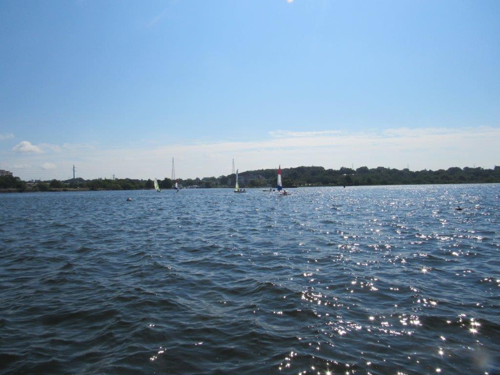
The R/V Monitor was out on the upper Bay twice this week. First, on Wednesday, August 5th, the crew was out collecting bacteria and chlorophyll samples, taking Secchi Disk water clarity measurements, conducting water column profiles using a profiling sonde, and conducting real-time surface mapping of water quality parameters, including dissolved oxygen, chlorophyll, water temperature, salinity, and pH, all in an effort to document water quality improvements associated with NBC construction projects. In addition, the sonde on the Pawtuxet Cove temporary buoy was changed out. The day was sunny, warm and humid. The water was calm but became choppy as time passed. On Thursday, August 6th, the crew returned to conduct benthic video transects. The transect at Edgewood Yacht club was ended halfway through due to poor visibility in the water column. The transects at Bullock's Reach and Sabin Point were completed, as the visibility in the water was clearer. Jeff captained the boat while monitoring professionals Daryll and Mike collected the samples and data on the 5th and conducted the video transects on the 6th. The weather was sunny and calm in the morning but turned partily sunny in the afternoon with a slight breeze out of the South. The featured photo of some sailors was taken on the 5th at India Point Park.
Nutrients Sampling
Nutrient samples were collected at eight bay stations on June 17, 2020. In order to comply with local health and safety guidance regarding social distancing as part of the ongoing COVID-19 response, local and border river stations were not conducted this week. No rainfall was recorded in the five days prior to sampling.
Among the bay stations sampled, the highest nitrogen concentrations occurred at Pawtuxet Cove, located down river of the Field's Point WWTF. At this site, concentrations of total nitrogen (TN), total dissolved nitrogen (TDN), and dissolved inorganic nitrogen (DIN) were 1,110 ppb, 1,180 ppb, and 750.5 ppb, respectively. The lowest surface TN (448 ppb) and TDN (139 ppb) concentrations occurred at Pomham Rocks, while the lowest DIN (13 ppb) concentration occurred at Edgewood Yacht Club, Pomham Rocks, India Point Park, and Phillipsdale Landing.
Results from sampling on July 1 and July 17 are pending analysis. The next scheduled date of sampling is July 29.

