Week of March 24 - 30, 2019
R/V Monitor's Blog
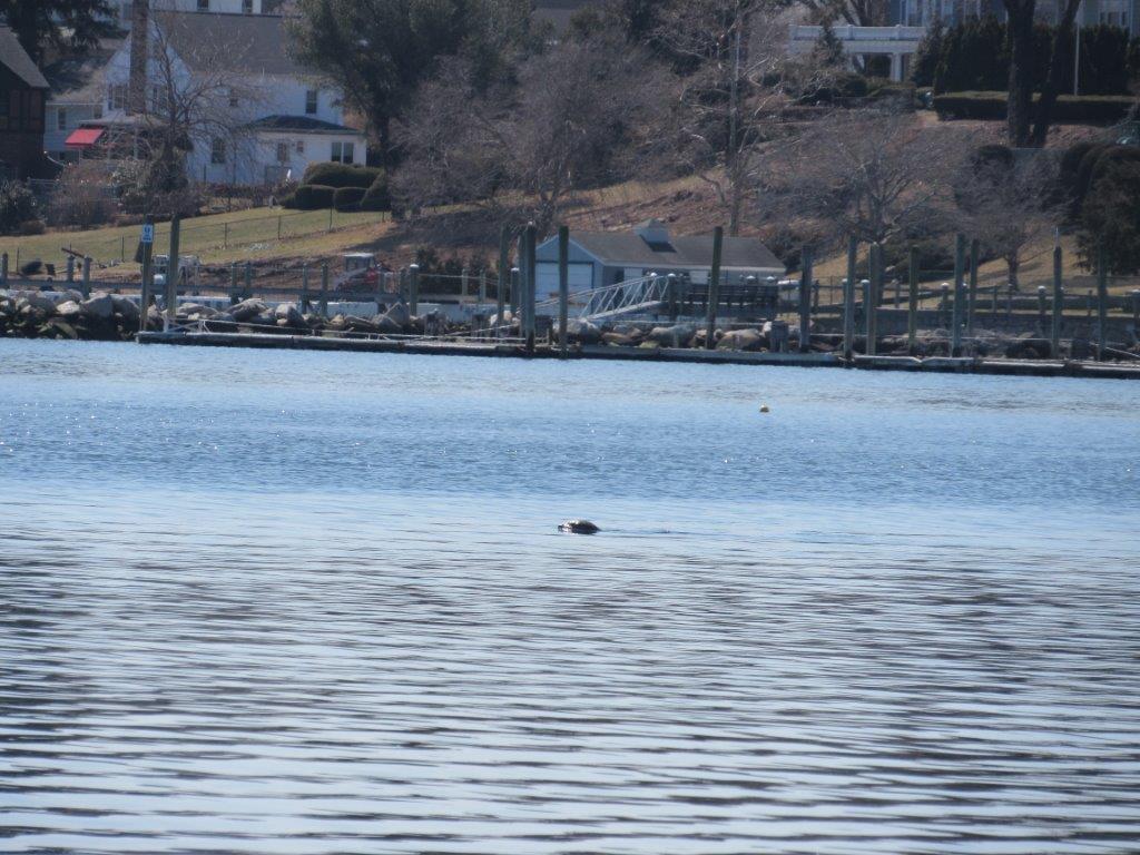
On Wednesday, March 27th, the crew of the R/V Monitor was out on the upper Bay collecting nutrients and plankton samples, taking Secchi Disk and Par sensor water clarity measurements, and conducting water column profiles using the Seabird instrument, all in an effort to document water quality improvements associated with NBC construction projects. Real-time surface mapping of water quality parameters was not done this day due to equipment issues. Sara captained the boat while monitoring professionals Michael and Amanda collected the samples and data. It was a sunny but cool day with no wind and calm waters. The photo below features a seal observed in the upper Bay this day.
Week of January 27 - February 2, 2019
Nutrients Sampling
Fourteen local river stations were sampled for nutrients on January 30, 2019; conditions were unsuitable for bay sampling. The river sampling was preceded by light rain of 0.3 inches over the two days prior. The highest total nitrogen (TN), total dissolved nitrogen (TDN), and dissolved inorganic nitrogen (DIN) results were measured in one of two duplicate samples collected at the Ten Mile River at Central Ave.; these results were 1,750 ppb, 1,830 ppb, and 1,544 ppb, respectively. The lowest nitrogen results were measured in the Coles River at Milford Rd., at 509 ppb (TN), 532 ppb (TDN), and 262 ppb (DIN).
Results from nutrient sampling completed on February 13, February 27, and March 13 are pending final analysis. The next anticipated date of sampling is March 27, 2019.
Week of January 13 - 19, 2019
Nutrients Sampling
Seven local river stations were sampled for nutrients on January 16, 2019. The five days prior to sampling were cold and dry, with no rain recorded in the area. The highest total nitrogen (TN), total dissolved nitrogen (TDN), and dissolved inorganic nitrogen (DIN) results were measured in the Ten Mile River at Roger Williams Ave., with reported values of 1,870 ppb, 1,940 ppb, and 1,671 ppb, respectively. The lowest nitrogen results were measured in the Moshassuck River at Higginson Ave., at 753 ppb (TN), 787 ppb (TDN), and 635 ppb (DIN) in one of two duplicate samples collected.
Week of December 30, 2018 - January 5, 2019
Nutrients Sampling
Seven local river stations and one bay station (Phillipsdale surface) were sampled for nutrients on January 2, 2019. Another seven bay stations were sampled at the surface the following day, with an eighth station sampled at the surface and bottom. The five days prior to sampling were wet, with a total of 1.94 inches of rain recorded in the area. Among the river stations sampled, highest total nitrogen (TN), total dissolved nitrogen (TDN), and dissolved inorganic nitrogen (DIN) results were measured in the Ten Mile River at Roger Williams Ave., with reported values of 1,720 ppb, 1,740 ppb, and 1,576 ppb, respectively. The lowest measured TN (630 ppb), TDN (636 ppb), and DIN (517 ppb) results were measured in the Woonasquatucket River at Manton Ave. Phillipsdale Landing, the only bay site sampled on the same day as the river sites, had concentrations of 969 ppb TN, 878 ppb TDN, and 740 ppb DIN (average of duplicate samples).
Of the bay stations sampled on January 3, the highest surface TN concentration was measured at India Point Park at 928 ppb. The highest TDN (790 ppb) and DIN (679 ppb) were measured at Pawtuxet Cove. The lowest nutrients were measured at Bullock Reach, at 765 ppb TN, 635 ppb TDN, and 487 ppb DIN.
Week of March 10 - 16, 2019
Water Column Clarity
Water clarity was measured at six locations in the Providence and Seekonk Rivers on March 13, 2019. There was 0.64 inches of rainfall 3 days prior to sampling. Due to inclement boating weather, secchi measurements had not been taken since February 6th. Average water clarity 2.9 m, a slight increase from the last sampling date with 2.7 m.
Water clarity was highest at Bullock Reach with a measurement of 3.9 m. The lowest water clarity was measured at Pawtuxet Cove with a measurement of 2.4 m. There was some evidence of a north to south water clarity gradient.

