Historical News
R/V Monitor's Blog
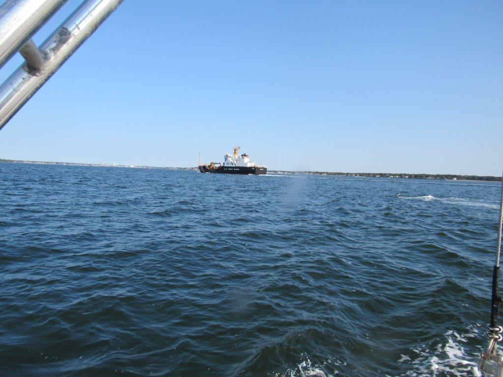
The R/V Monitor was out on the boat twice this week. First, on Wednesday, September 23rd, the crew was out collecting nutrients and plankton samples, taking Secchi Disk and Par sensor water clarity measurements, conducting water column profiles using the Seabird instrument, and conducting real-time surface mapping of water quality parameters, including dissolved oxygen, chlorophyll, water temperature, salinity, and pH, all in an effort to document water quality improvenents associated with NBC construction projects. In addition, the Bullock's Reach buoy was serviced and sondes changed out. Jeff captained the boat while monitoring professionals Gerard and Mike collected the samples and data, and serviced the buoy. It was a cool, crisp, sunny morning warming up nicely by the afteroon. There was a light wind from the west-northwest and calm waters all day. On Thursday, September 24th the crew returned to conduct benthic video transects at established sites in the Bay. It was a warm, cloudy day with a light wind out of the south and calm waters. Jeff captained the boat while monitoring professionals Gerard and Amanda conducted the video transects. This week's photo was taken on Wednesday and features a US Coast Guard ship out on the upper Bay.
Fixed Site Network
Water quality was fair to poor this week at Phillipsdale Landing. Sondes were changed out for routine maintenance on the morning of September 15. No precipitation was recorded over the course of the week.
This week, surface salinity averaged 23.3 ppt and ranged from 15.6 ppt to 28.1 ppt. Bottom salinity averaged 26.3 ppt and ranged from 19.6 ppt to 30.2 ppt. Water column temperatures cooled over the course of the week, and surface and bottom temperatures averaged 21.1°C and 21.4°C, respectively. Surface temperatures ranged from 18.3°C to 23.6°C, while bottom temperatures ranged from 18.9°C to 23.0°C.
Dissolved oxygen (DO) increased over the course of the week in both surface and bottom waters. Lowest water column DO concentrations occurred on September 13, with a minimum of 2.2 mg/L in surface waters and 0.7 mg/L in bottom waters. Conditions were hypoxic (DO ≤ 2.9 mg/L) for two hours in surface waters and for approximately 18 hours in bottom waters on this date. This week, surface DO averaged 6.8 mg/L and bottom DO averaged 4.9 mg/L. Chlorophyll concentrations were elevated; surface chlorophyll averaged 35.1 ug/L and bottom chlorophyll averaged 32.0 ug/L; maximum chlorophyll concentrations were over 75 ug/L at both depths. Please note that tidal fluctuations and Blackstone River flow greatly influence water column salinity, temperature, and dissolved oxygen at this location.
Bullock Reach
Water quality was fair to good this week at Bullock Reach. Surface salinity averaged 29.5 ppt and ranged from 27.9 ppt to 30.6 ppt. Salinity increased with depth, averaging 30.2 ppt at the middle of the water column (range: 24.1 ppt to 31.0 ppt) and 31.2 ppt in bottom waters (range: 29.2 ppt to 32.2 ppt). Temperatures were cooler than last week, averaging 21.0°C, 21.1°C, and 20.9°C at the surface, middle, and bottom of the water column, respectively. Surface temperatures ranged from 18.8°C to 22.4°C, mid temperatures ranged from 19.2°C to 22.6°C, and bottom temperatures ranged from 19.5°C to 22.2°C.
Dissolved oxygen (DO) concentrations remained above the hypoxia threshold (2.9 mg/L) at the surface depth. Surface DO averaged 6.8 mg/L, with a minimum of 5.0 mg/L. Mid DO averaged 6.0 mg/L, with a minimum of 2.5 mg/L, and bottom DO averaged 5.2 mg/L, with a minimum of 1.9 mg/L. The longest duration of bottom hypoxia was 7.25 hours on September 14. Bottom DO was lowest at the beginning of the week and generally increased over the course of the week. Chlorophyll concentrations were also elevated at the beginning of the week, coinciding with observations of rust tide (Cochlodinium polykrikoides) in Upper Narragansett Bay. Surface chlorophyll averaged 8.9 ug/L, mid chlorophyll averaged 6.9 ug/L, and bottom chlorophyll averaged 12.0 ug/L this week, with maximum concentrations of > 35 ug/L observed at all depths.
Water Column Clarity
Water clarity was measured at eight locations in the Providence River and Seekonk Rivers on September 16, 2020. No rainfall was recorded on the day of the survey and in the three days prior. Water clarity increased compared to the previous survey day. Overall, sites surveyed averaged 1.69 meters Secchi depth, compared to 1.36 meters on September 10. The lowest clarity (1.03 m) was measured at the Phillipsdale Landing site, while the greatest clarity (2.43 m) was measured at the Bullock's Reach site. Overall, a slight gradient of increasing clarity from north to south was observed among all sites.
Water Column Clarity
Water clarity was measured at five locations in the Providence River and Seekonk Rivers on September 10, 2020. On the day of the survey there was 0.03 inches of recorded rainfall, with no recorded rainfall in the three days prior. Water clarity increased slightly compared to the previous survey day. Overall, sites surveyed averaged 1.36 meters Secchi depth, compared to 1.35 meters on September 2. The lowest clarity (0.83 m) was measured at the India Point Park site, while the greatest clarity (1.77 m) was measured at the Conimicut Point site. Overall, a gradient of increasing clarity from north to south was observed among the sites.
Water Column Clarity
Water clarity was measured at seven locations in the Providence and Seekonk Rivers on September 2, 2020. On the day of the survey there was 0.42 inches of recorded rainfall, with no recorded rainfall in the three days prior. Water clarity decreased slightly compared to the previous survey day. Overall, sites surveyed averaged 1.35 meters Secchi depth, compared to 1.95 meters on August 19. The lowest clarity (0.90 m) was measured at the Phillipsdale Landing site, while the greatest clarity was measured at the Bullock's Reach site (2.03 m). Overall, a gradient of increasing clarity from north to south was observed among the sites.

